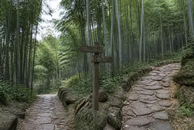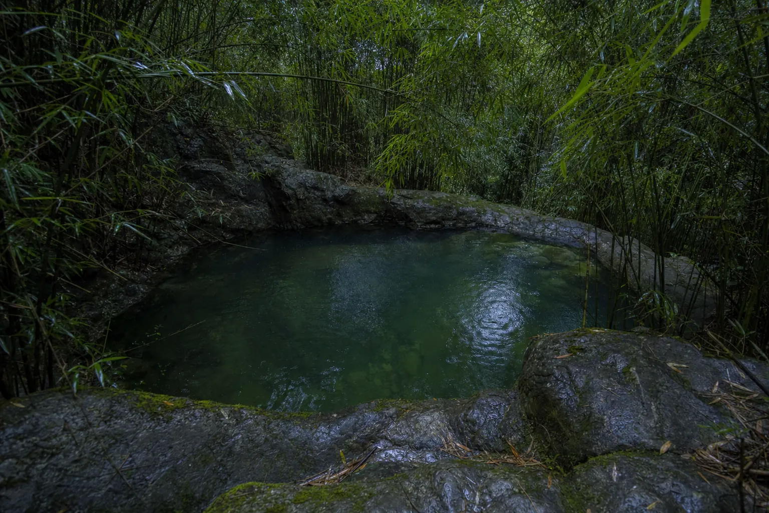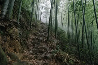
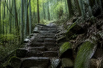
The walking here happens on a 719 to 720 meter hill called Tashan, the main peak of Moganshan, in Deqing County, Huzhou prefecture, Zhejiang Province, China. Hangzhou is about 60 km south, Shanghai 200 to 240 km off. More than 92 percent of the mountain is forest, and almost all of that is moso bamboo.
Search engines will also offer you Moganshan Road in Shanghai’s Putuo District. That is an art district on a city street, no relation.
Walking is the main thing people do here, and it is what this page has to be careful about: “hiking near Shanghai” sets up a picture Moganshan does not match.
Read this first: this is a network, not a trail
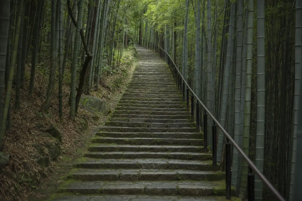
The mountain carries a dense network of stone paths, and it is not organised the way a hiking area is. There are no named trails, no waymarked circuits and no board at the gate giving distances. What there is, is a web of built stone connecting sights, villages and villas, which you join wherever the transfer puts you down and follow until you want to turn round.
That means the route is decided on the day rather than in advance. Your guesthouse is the place to get one, and staff walk this mountain weekly.
Terrain, forest cover, scenic-area size and transfer-center hours, BeyondBorder Group Ltd primary research, 1 to 5 August 2026.
What kind of walking this is
| Feature | What it is at Moganshan |
|---|---|
| Surface | A dense network of stone paths and steps, with paved lanes |
| Highest point | Tashan, 719 to 720 m. You do not climb all of that |
| How far, how steep | Short legs between sights, and the climbing comes as steps |
| Route finding | Signboards at the transfer centers and junctions, largely in Chinese |
| Remoteness | Low. You are rarely far from a road or a building |
| Hours you can be on it | Transfer centers run 08:00 to 18:00, and they gate the scenic area |
| Tickets | Charged, prices disputed between sources, half price in winter |
| Company | Quiet midweek, Mondays most of all. Weekends and Golden Week are the opposite |
The terrain, in plain terms
Some of that needs unpacking.
The core scenic area covers about 20 km², more than 92 percent of it forest. Nearly all of that is moso bamboo, grown and cut as a commercial crop. The bamboo forest page covers what it looks like from the path.
The stone paths run through all of it, and they do three jobs.
- Sight to sight. Sword Pond (Jianchi), Luhuadang Park, Dakeng, the Xuguang sunrise platform, Chiang Kai-shek’s villa and the Bai and Yun Art Museum.
- Village to village. Around the foot of the mountain, outside the ticketed core.
- House to house. The lanes of the old hill station, running between villas.
There is a reason the surface is built. Moganshan has been a summer town since the 1890s, one of the four traditionally listed as China’s great summer resorts, with about 250 historic stone villas still standing. The paths were laid to move families between houses in August. You are walking on the leftovers of that.
Why this is not a mountain hike
Tashan tops out at 719 to 720 meters. Ignore the 758 m figure that circulates.
Seven hundred meters is a hill by the standards of the Alps or the Rockies. Altitude is not a factor here, and how much height you gain depends mostly on where the transfer drops you.
That makes it kinder than a wilderness trail for children and for older walkers. The paths are built, and there is no scrambling and no exposure. Steps are the limiting factor rather than gradient.
Moganshan is not remote, either. It is a national scenic area, rated AAAA, and a national-level tourism resort since 15 December 2020. Roads run through it. There are hotels inside it and villages around the edge, so there is no backcountry to get lost in. If your idea of a good day is nine hours without seeing anyone, this is the wrong mountain.
The height buys you temperature, not difficulty. July and August average 24.1 °C up here, 6 to 7 °C cooler than Shanghai and Hangzhou, which is why the hill station exists. For a Shanghai-based reader that is the trade: three hours each way for several hours of easy walking in deep bamboo shade. That is a good weekend. It is not a trek.
Weather and footwear
| Season | On the mountain | For walking |
|---|---|---|
| July to August | 24.1 °C mean, 6 to 7 °C cooler than Shanghai and Hangzhou | Peak season, humid, carry water |
| January | 1.4 °C mean, close to freezing | Quiet, half-price tickets, cold hands |
| Spring and autumn | Between the two, annual mean 13.3 °C | The promoted shoulder seasons |
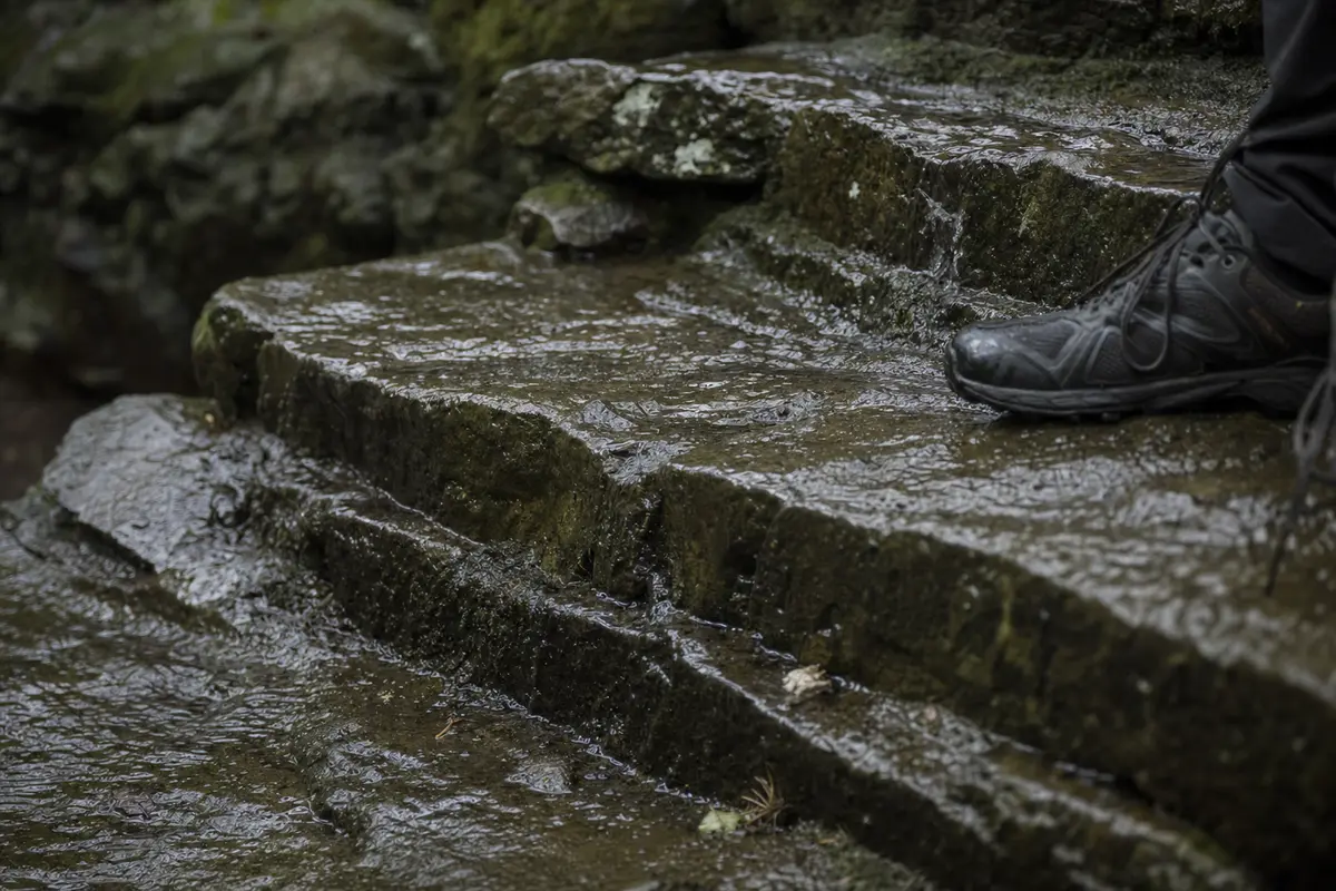
Footwear is where visitors get caught out.
- Dry stone. Ordinary trainers are fine on the paths and steps.
- Wet stone. This is the reason to want grip. Smooth soles are a poor choice in rain.
- Boots. Not necessary at these heights.
- Rain and low cloud. Not a wasted day. Grey light suits bamboo.
The weather page has the month-by-month detail.
The clock that bounds your walking day
Your timetable is set by something other than daylight.
No private car goes inside the scenic area. Visitors transfer at one of three centers, Yucun, Fatou or Houwu, and all three run 08:00 to 18:00.
That rule decides your start and finish times, whether you planned around it or not. The Xuguang sunrise platform is a sunrise spot by name, and summer sunrise arrives well before the centers open. To walk early or late, you have to be sleeping inside or beside the scenic area.
The same clock is the argument against walking here on a day trip from Shanghai. Close to three hours each way, against a gate that shuts at 18:00, leaves very little time on the paths. One night on the mountain works better.
Tickets are charged, and our sources disagree on the price.
| What the sources say | Price |
|---|---|
| One source | RMB 120 online, RMB 130 at the gate |
| The other | RMB 50 off-season, RMB 80 at peak |
| Winter | Half price. Only the higher set spells this out |
Check when you book. Do not trust any published number, ours included. Getting around Moganshan explains the transfers, and the scenic area page covers the rules.
Eat when food is in front of you, and carry something for the afternoon.
Evening economy in the villages, Chinese domestic reporting, BeyondBorder Group Ltd primary research, 1 to 5 August 2026.
Where to ask for an actual route
Three sources can give you one, in this order.
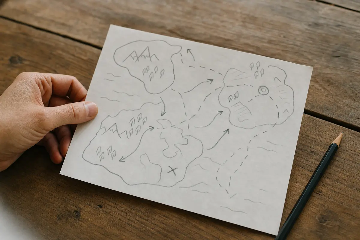
- Your guesthouse. The best source on this mountain. Staff walk it weekly and know which paths are closed or dug up right now. English varies from house to house. Ask the night before, not on your way out of the door.
- The transfer centers and scenic-area gates. Staffed during opening hours, with signboards on the mountain, mostly in Chinese. A translation app on your phone earns its keep here.
- The villa walking tour. Six historic buildings in a reading order, with the history checked.
When the paths get busy
High-end guesthouse occupancy hit 94 percent over the May 2024 holiday, and during National Day 2025 daily footfall in Yucun ran 30 to 40 percent above normal. Mondays stay quiet all year.
Holiday occupancy and footfall, BeyondBorder Group Ltd primary research, 1 to 5 August 2026.
At those peaks the main paths are busy in the ordinary Chinese-holiday sense: continuous and loud, with queues at the photogenic points. The mountain absorbs it away from the obvious routes, and few people go there. For the rest, see things to do.
Last check on terrain, temperature and transfer-center hours: 5 August 2026. Ticket prices should be checked at booking.
Last checked 8 August 2026 by Liyan Ye. Prices, timetables and entry rules on this mountain move without notice, so confirm anything you are booking around.
Photographs on this site are representative illustrations, not documentary images of the specific building, property or service described.