Some guides sell the Dayangli loop (大洋里环线) as a Moganshan bamboo forest walk through the Crouching Tiger bamboo. It isn’t. The film shot its bamboo scenes in Anji, the next county west. What Dayangli has is plainer and harder: the most demanding of the four graded loops Moganshan opened in 2014, a climb of about 440 m to a camp hut at 635 m, and a long descent the county tells you not to walk the wrong way round.
Crouching Tiger, Hidden Dragon (《卧虎藏龙》) filmed its outdoor bamboo scenes at Anji’s Bamboo Sea (中国大竹海), People’s Daily Digest (人民文摘), 1 August 2013, tier 2. http://paper.people.com.cn/rmwz/html/2013-08/01/content_1295217.htm
Moganshan (莫干山) is a bamboo mountain and former hill station in Deqing County (德清县), Huzhou (湖州), Zhejiang, about 60 km north of Hangzhou and 200 to 240 km from Shanghai. It is not Moganshan Road in Shanghai, the M50 art district. The loop starts in Houwu (后坞村), a village on the western flank, about 30 km west of the county centre.
Nobody on this desk has walked it. Every distance, height and timing below comes from a dated written source, and where the sources disagree, both figures are printed.
The loop in one table
| What | The record | Source |
|---|---|---|
| Start and finish | Sports and leisure park, Houwu | Deqing News 2014 |
| Distance | 9.6 km | Deqing News 2014; Deqing Tourism 2016 |
| Distance, other figure | 9.8 km | GreenTour Asia, 2026 |
| Highest point | 635 m, the Dayangli camp hut | Deqing News 2014 |
| Climb | about 440 m, temple to hut; “nearly 400 m” in the 2014 report | Deqing Tourism 2016; Deqing News 2014 |
| Time | 4.5 hours | Deqing Tourism 2016 |
The surface is stone slabs, old paved path and forestry track, and most of the loop is either up or down. The start and finish are the same place, the Moganshan sports and leisure park (莫干山体育休闲公园) in Houwu. The county graded it the hardest of the four loops it opened on 9 October 2014, and called it fit for professional mountain races. None of the sources mentions a fee.
9.6 km, the route, the camp hut at 635 m, nearly 400 m of height difference, the hardest loop, Deqing News (德清新闻网), 20 November 2014, tier 2. https://dqnews.zjol.com.cn/dqnews/system/2014/11/20/018710329.shtml
Altitudes of each point, 9.6 km, four and a half hours, the surfaces, Deqing Tourism (德清旅游), the county account, reprinted by Sohu, 20 March 2016, tier 2. https://m.sohu.com/n/441225534/
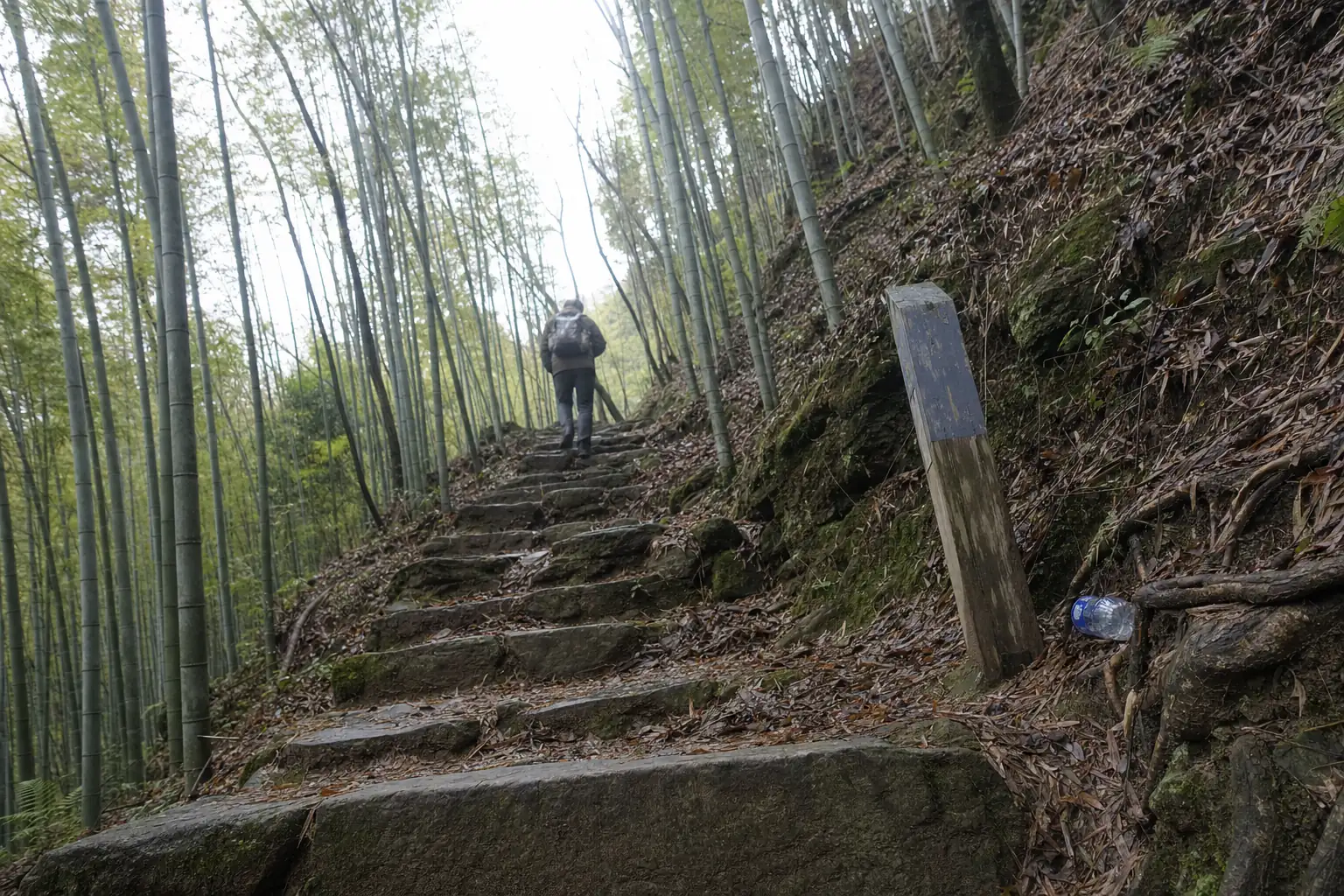
The Moganshan bamboo forest walk the county graded hardest
The national mountain fitness trail (莫干山国家登山健身步道) runs to 45.1 km in four loops, most of it in Houwu. Two are gentle. Yangshulin (杨树林) is 3.2 km of gravel and steps, the Yaowu loop (瑶坞) 10.2 km of road and paving. The longest, over Tianquanshan (天泉山), runs 22.1 km, mostly on roads and forestry track.
Dayangli is the short hard one. The county’s own route book says it plainly: nearly every stretch climbs or descends, and the drop from Dayangli back towards Tianquan is long and continuous. Its advice is to walk the loop in the signed direction only, so that the long stretch comes as a climb rather than a descent. The 2014 report adds that this stretch hits ankles and knees hard.
The four loops and their lengths, Deqing News (德清新闻网), 20 November 2014, tier 2. https://dqnews.zjol.com.cn/dqnews/system/2014/11/20/018710329.shtml
Part of it was laid out by walkers. Xu Youyang (许悠扬), an outdoor guide from Fujian who settled in Fatou (筏头) in 2008 and ran a guesthouse with foreign partners, told China Sports Daily that he and his friends had mapped the mountain with GPS for years, getting lost more than once. The planners used one of their routes for a section, and asked his advice. His wish was to keep the hill as it was and turn the old paths used for hauling bamboo (拉毛竹的小径) into trail with plain timber. He told the paper the result was well graded and had few signs.
Xu Youyang and the hauling paths, China Sports Daily (中国体育报), 29 April 2015, tier 2. https://www.sport.gov.cn/n20001280/n20745751/n20767239/c21821628/content.html
If you want the gentle version, hiking on Moganshan covers the easier routes, and the bamboo forest page explains what you are walking through.
Stage by stage
The county gives six points, with a height for each. Put any of the Chinese names into a map app. The stages below follow the signed direction.
| Point | Chinese | Height |
|---|---|---|
| Sports and leisure park (start) | 莫干山体育休闲公园 | 260 m |
| Long pine wood | 长松林 | 238 m |
| Tianquan Temple | 天泉寺 | 198 m |
| Dayangli camp hut | 大洋里营地管理房 | 635 m |
| Xiazhuang ridge | 下庄岭 | 312 m |
| Sports and leisure park (finish) | 莫干山体育休闲公园 | 260 m |
Park to the temple. The loop opens downhill, past a car park and through the long pine wood, losing about 60 m to Tianquan Temple. The 2014 report calls the temple a thousand years old (千年古刹), and names a spring, Yixian Spring (一线泉), and the old Tianquan path (天泉古道) along this part. It also says a runner can stop at the temple and wash their face in the stream.
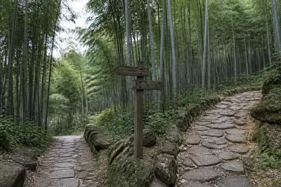
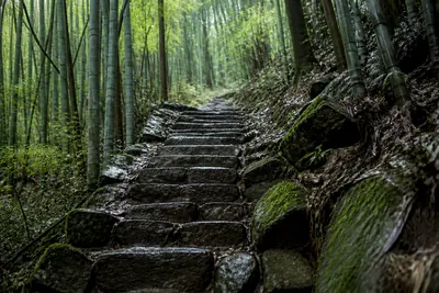
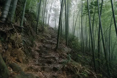
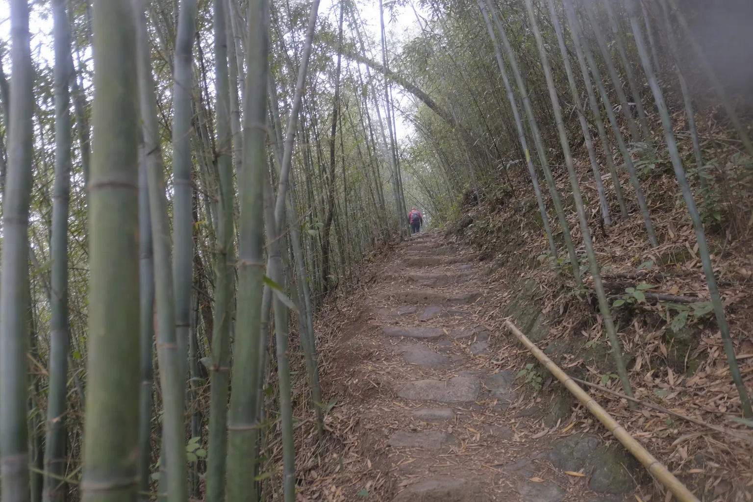
Temple to the hut. This is the climb: from 198 m at the temple to 635 m at the camp hut, 437 m on the county’s own heights, on old paving and forestry track through bamboo. The county described an alpine meadow at the Dayangli camp, where walkers could pitch tents.
Camping on the meadow at the Dayangli camp, Deqing Tourism (德清旅游), 20 March 2016, tier 2. https://m.sohu.com/n/441225534/
A newspaper visit in 2015 found two campers on the Tianquanshan summit and a couple, Zhen Bainian (朕百年) and Ni Caiyun (倪彩云), who had kept the forest there for 28 years and sold walkers vegetables and chickens. That was eleven years ago, and we found no later account of them. Do not count on food at the top.
The forest keepers on Tianquanshan and the campers, China Sports Daily (中国体育报), 29 April 2015, tier 2. https://www.sport.gov.cn/n20001280/n20745751/n20767239/c21821628/content.html
Hut to Xiazhuang ridge. The way down, from 635 m to 312 m, a loss of 323 m in one go. Walk it the other way round and this is your climb, while the temple stretch becomes the long descent the county warns against.
Ridge to the park. A short last drop of about 50 m back to the start.
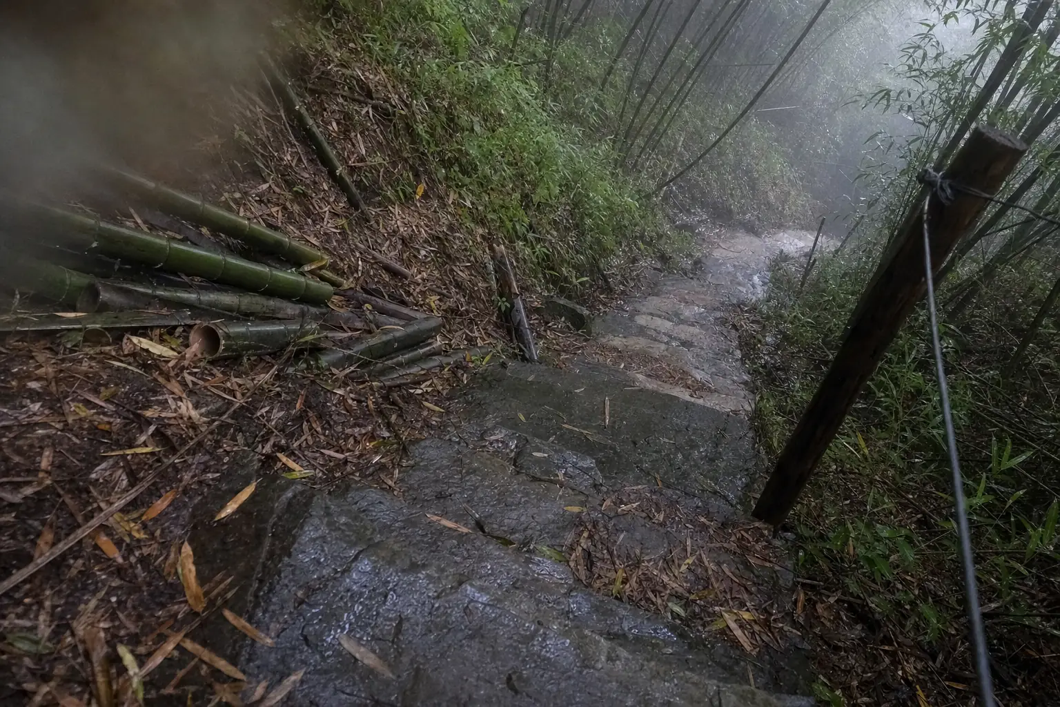
The other Dayangli loop, from the culture hall
A second route carries the same name, and three of the travel pieces we found print this one instead. It starts at the Houwu culture hall (后坞文化礼堂, 193 m) and runs past the “husband and wife trees” at Tianquan Temple (天泉寺夫妻树, 198 m), the Houwu power station (后坞电站), the Tianquanshan bamboo garden (天泉山毛竹精品园), Dayangli, and down to Kenglu (坑路里).
| Source | Date | Length | Time |
|---|---|---|---|
| Sohu, Quange Tandian | 17 August 2017 | not given | 2.5 hours |
| Hangzhou Bendibao | 29 April 2021 | 11 km | about 2.5 hours |
| Sohu, a team building operator | 9 September 2022 | about 10 km | 3 hours |
The two versions share the temple, the bamboo and the climb to Dayangli. They do not share a start, and the second is not a loop in the county’s 2014 sense. Two and a half hours for 11 km over a 635 m hut is quick, and none of the three sources says who timed it. The county’s four and a half hours for 9.6 km is the figure to plan on.
11 km, about 2.5 hours, Hangzhou Bendibao (杭州本地宝), 29 April 2021, tier 3. http://hz.bendibao.com/tour/2021429/101967.shtm
2.5 hours, Sohu (搜狐, 权哥探店), 17 August 2017, tier 4. https://www.sohu.com/a/165281352_357973
About 10 km, 3 hours, Sohu (搜狐), 9 September 2022, tier 4. https://www.sohu.com/a/583613214_695738
What the tour operator’s version adds
GreenTour Asia (绿色旅行网), a tour operator, lists a 9.8 km Dayangli loop from the same sports park. Its page says the walk crosses bamboo “of the same kind” as Crouching Tiger, passes a lookout on Tianquanshan with a full view of Naked Castle (裸心堡), and ends with a stop at the Qingzhi forest café (青芷森林咖啡馆). It calls the loop moderate, with a few gentle slopes.
9.8 km, the castle view and the café, GreenTour Asia (绿色旅行网), updated 27 October 2026, tier 3. https://www.greentourasia.com/article/moganshantubugonglve
Three of those four claims do not hold up. The film is Anji’s. The county, which built the trail, measured 9.6 km. And a 2021 note on Dianping (大众点评) puts the Qingzhi forest café “at the far end of Wusi village (五四村)”, by Yucun (庾村), not in Houwu. The castle view we could not test: no county source mentions it, so treat it as the operator’s word. So is “moderate”. The county graded the loop its most challenging.
The Qingzhi forest café in Wusi village, Dianping (大众点评), a visitor’s note, 1 April 2021, tier 3. https://m.dianping.com/discovery/588215999
Getting to the start
Houwu has its own shuttle transfer centre, and in the daytime the mountain road sends many drivers to it. The Houwu village guide covers the transfer centre, parking and where to stay. The sports and leisure park is the start of three of the four 2014 loops, so a map app will usually find it under its Chinese name.
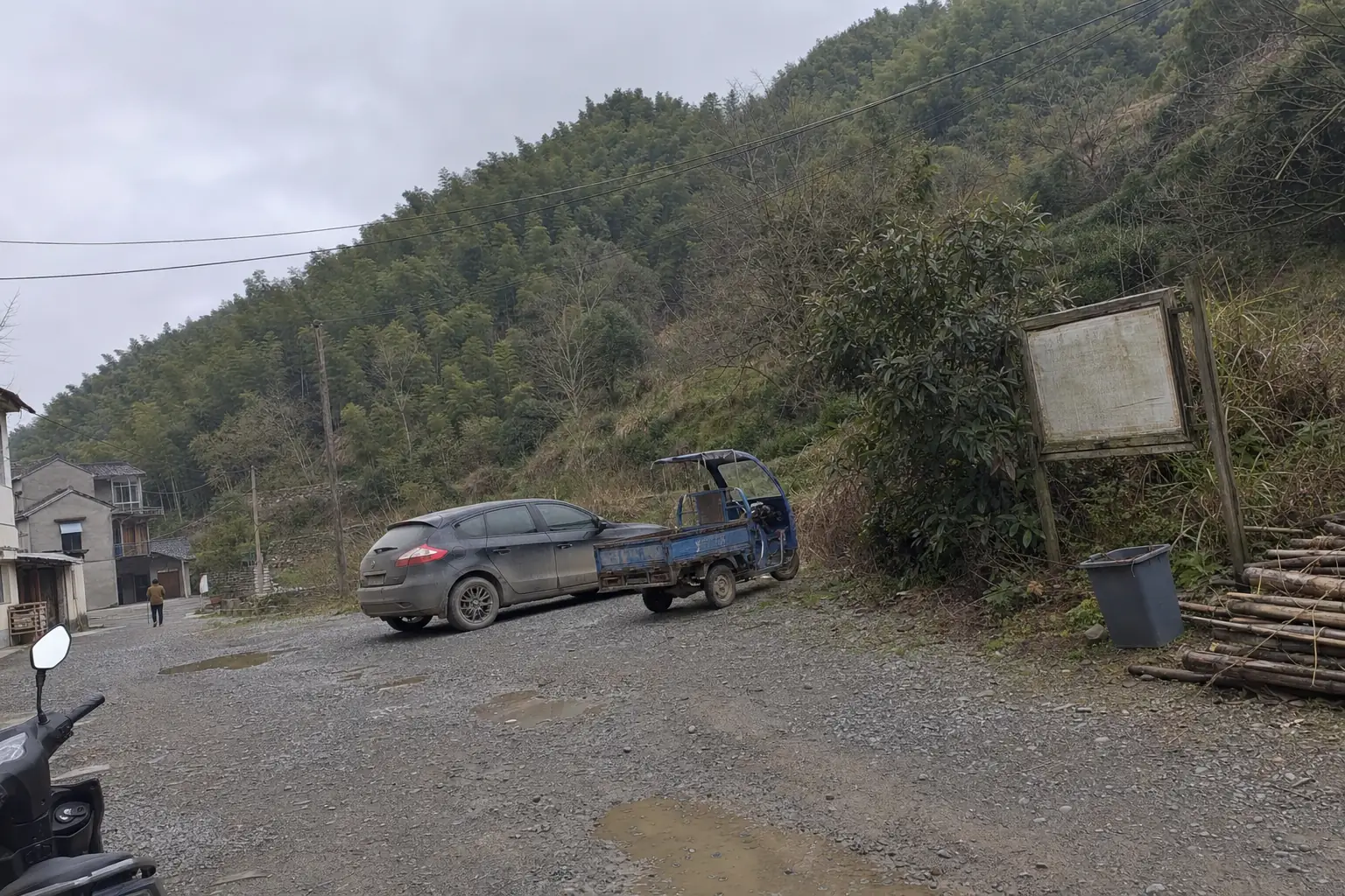
What to carry
The 2014 trail came with safety kit: solar powered rescue light posts at two dangerous points, each with a number, an alarm phone and a phone charger, and a volunteer rescue team, the Gongyang team (公羊队), on call around the clock. That was 2014. Nothing we found says the posts still work.
Rescue light posts at two points, visible 1.8 km at night, and the Gongyang team on 24 hour standby, Deqing News (德清新闻网), 20 November 2014, tier 2. https://dqnews.zjol.com.cn/dqnews/system/2014/11/20/018710329.shtml
So carry what the county’s route book asks for, plus what a 2026 walker needs:
- A charged phone with the route saved offline, and the Chinese names above.
- Shoes with grip for wet stone, and poles for the descent.
- Water and food for five hours. Do not count on the summit.
- A rain layer. A 2017 route note warns that spring and autumn weather on the mountain turns fast.
Who will not enjoy it
Anyone who wants a view for the effort. The record promises bamboo, a temple, a spring and a hut; only a tour operator promises a panorama. There is no café on the loop in any source we found, so carry your own. Bad knees are the other reason to stay away, because whichever way round you walk it, one long stretch comes downhill.
It does suit a walker who wants Moganshan’s bamboo without the queues of the Chiang Kai shek path. None of the dated accounts of this loop mentions a crowd.
When not to go
After rain. The descent from the hut is stone and forestry track, and wet bamboo leaves on stone are slick. Check the Moganshan weather page the night before.
Late in the day. Four and a half hours is the county’s own allowance and winter light is short, so start in the morning, and walk the signed direction: the county asks you not to reverse it.
If you are unwell or new to hill walking. A 2017 route note says people with illness should not choose this loop, and the county built three easier ones beside it. Yangshulin, 3.2 km from the same park, is the gentlest. The Chiang Kai shek path from Yucun is no easier, with more climbing than Dayangli.
Last checked 29 October 2026 by Liyan Ye. Prices, timetables and entry rules on this mountain move without notice, so confirm anything you are booking around.
Photographs on this site are representative illustrations, not documentary images of the specific building, property or service described.