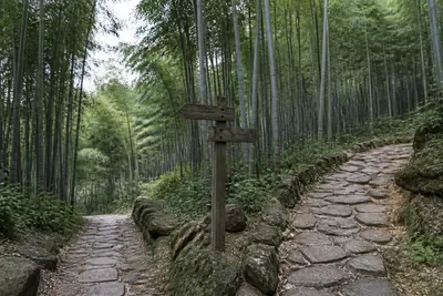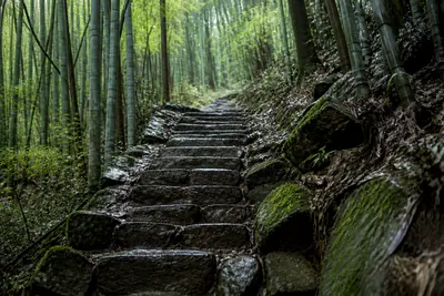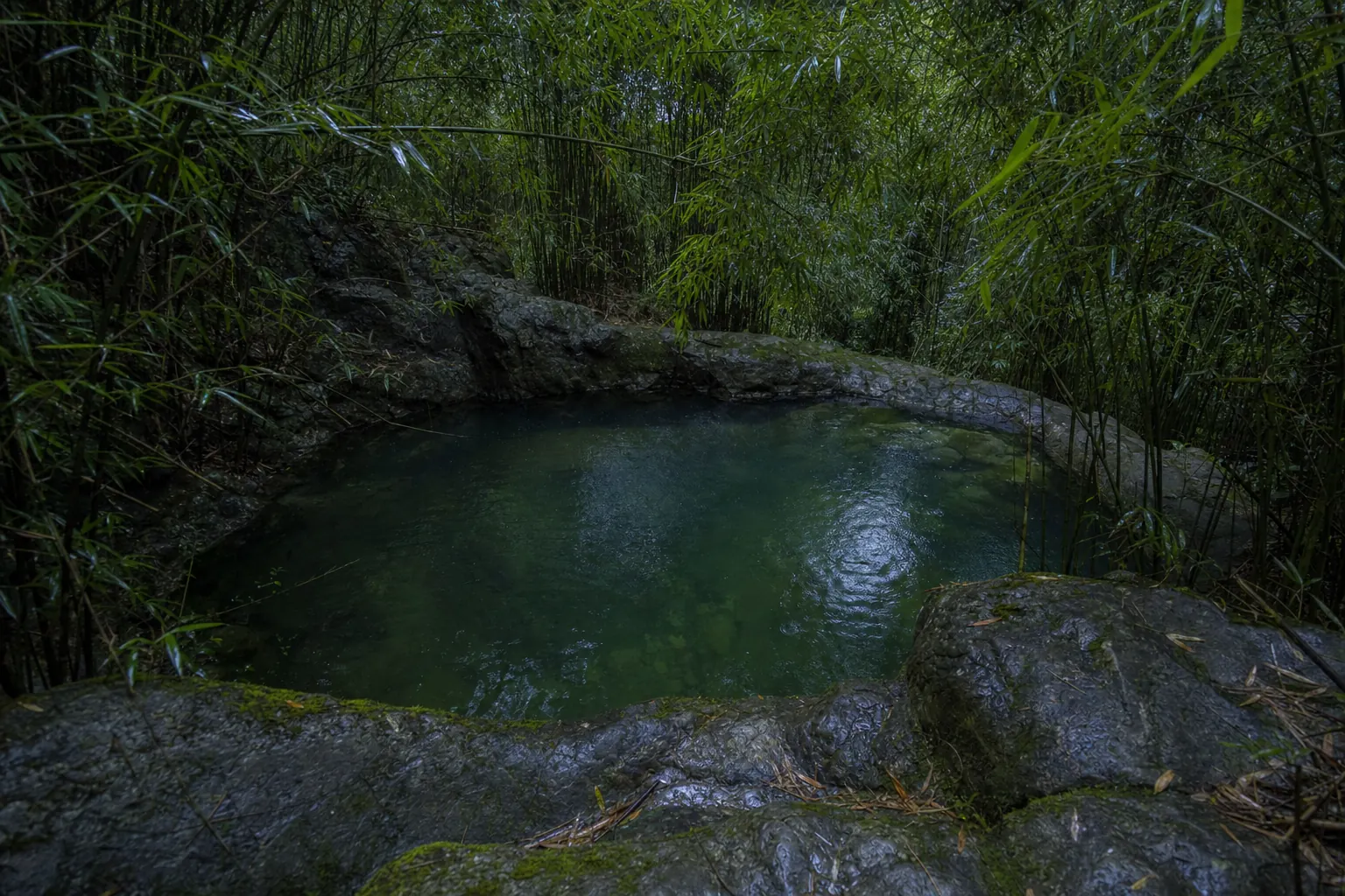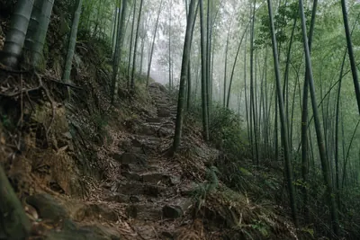
Chinese walking guides sell this Moganshan hiking trail as the free way up the mountain. It’s half true. The path itself costs nothing, and no source reports a gate at the bottom of it. The top half, though, runs through the ticketed scenic area, past Sword Pond and the old villas, and walkers have found a ticket point there aimed at people coming up on foot. Carry a ticket and it is a full day out from the village to the villas and back, with no shuttle bus anywhere in it.
Moganshan (莫干山) is a mountain and former hill station in Deqing County (德清县), Huzhou (湖州), Zhejiang, about 60 km north of Hangzhou and 200 to 240 km from Shanghai. It isn’t Moganshan Road in Shanghai, the M50 art district, which owns most English search results. The path starts in Yucun (庾村), the village at the foot of the mountain, and Chinese walkers call it the Jianggong path (蒋公道), or the Jianggong ancient path (蒋公古道): the road of Mr Chiang.
| The loop, as published | Figure |
|---|---|
| Distance | 9.8 to 10 km by two GPS logs; guides say 10 to 12 km |
| Climb | 627 m and 659 m by those logs; one guide says 560 m |
| Highest point | 611 m on the 2024 log |
| Shape | Up for the first 5 km, down for the rest |
| Surface | Lane, earth, loose stone, stone steps, then old paving |
| Time | A little over 4 hours at a guide’s pace; 5 to 5.5 hours in a group |
| Ticket | None reported at the foot; RMB 80 at the window for the scenic area above |
| Start and finish | Yucun Square (庾村广场) |
A 9.8 km loop from Yucun Square with 659 m of climbing and descent, a high point of 611 m, walked from 10:40 to 16:13 on 30 November 2024, 2bulu (两步路) community, walker 山野见闻, 2 December 2024, tier 3. https://www.2bulu.com/community/gotohuatinfo.htm?id=1AkOj8IiqgxHrVc0IRUEyQ%3D%3D&type=1
A 10 km route with 627 m of climbing, the first 5 km up, Youxiake (游侠客) community, group leader 佩琪, October 2023, tier 3. https://bbs.youxiake.com/y/1053344.html
Both are walkers’ GPS records, not surveys. Nobody from this site walked the path; everything here comes from dated written sources.
What the name rests on
The story comes from the county paper. In January 2015 Deqing News (德清新闻网) reported that Moganshan town had hand drawn 11 walking routes, about 50 km in all, mostly starting from Yucun. Route one, it said, was an old trading path that officials had used in the Republican years, and Chiang Kai shek was carried up it in a sedan chair. That is why walkers call it his.
Eleven routes of about 50 km in total, route one the old trading path on which Chiang Kai shek was carried up in a sedan chair, Deqing News (德清新闻网), 4 January 2015, tier 2. http://dqnews.zjol.com.cn/dqnews/system/2015/01/04/018881662.shtml
Not everybody buys it. A travel writer who walked up in December 2020 called the story the hiking clubs’ decoration. A motor road already climbed the mountain then, the argument ran, and no bodyguard would choose a steep path through bamboo.
The writer’s doubt that Chiang was carried up this path, NetEase (网易), travel writer 知行摄旅行, 15 December 2020, tier 3. https://www.163.com/dy/article/FTTJ9B4A0524RGKC.html
The road dates cut against that. In 1929 the new highway from Hangzhou reached only the foot of the mountain. Guests got out at Yucun and finished the climb in rattan chairs, and the motor road from Yucun to the top was not built until 1952, according to the Huzhou government’s own publicity account. Chairs were how anyone important went up. Which path the bearers took is another matter: a road built in 1920, which no car could yet use, also ran from Yucun to the top. The written record does not say.
The 1929 road from Hangzhou to the foot of the mountain, and local people living by carrying sedan chairs, Hangzhou Daily (杭州日报), 25 December 2015, tier 2. http://gpark.mhtz.gov.cn/contents/418/4363.html
The 1920 road that cars could not yet use, guests changing to rattan chairs at Yucun in 1929, and the motor road up the mountain built in 1952, as published by Huzhou Release (湖州发布) on The Paper (澎湃新闻), 16 December 2023, tier 4. https://www.thepaper.cn/newsDetail_forward_25687212
So the name is a walkers’ name with a local claim behind it. The path was a trading route long before anyone put a name to it.
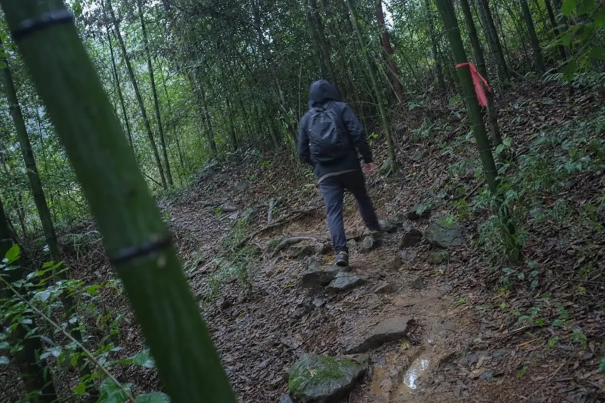
Stage by stage: the Moganshan hiking trail from Yucun
Each stage names its start and end in English and Chinese, to type into a Chinese map app. Distances are those of the 2023 Youxiake route unless marked.
1. Yucun Square to Mogaowu (庾村广场 to 莫皋坞)
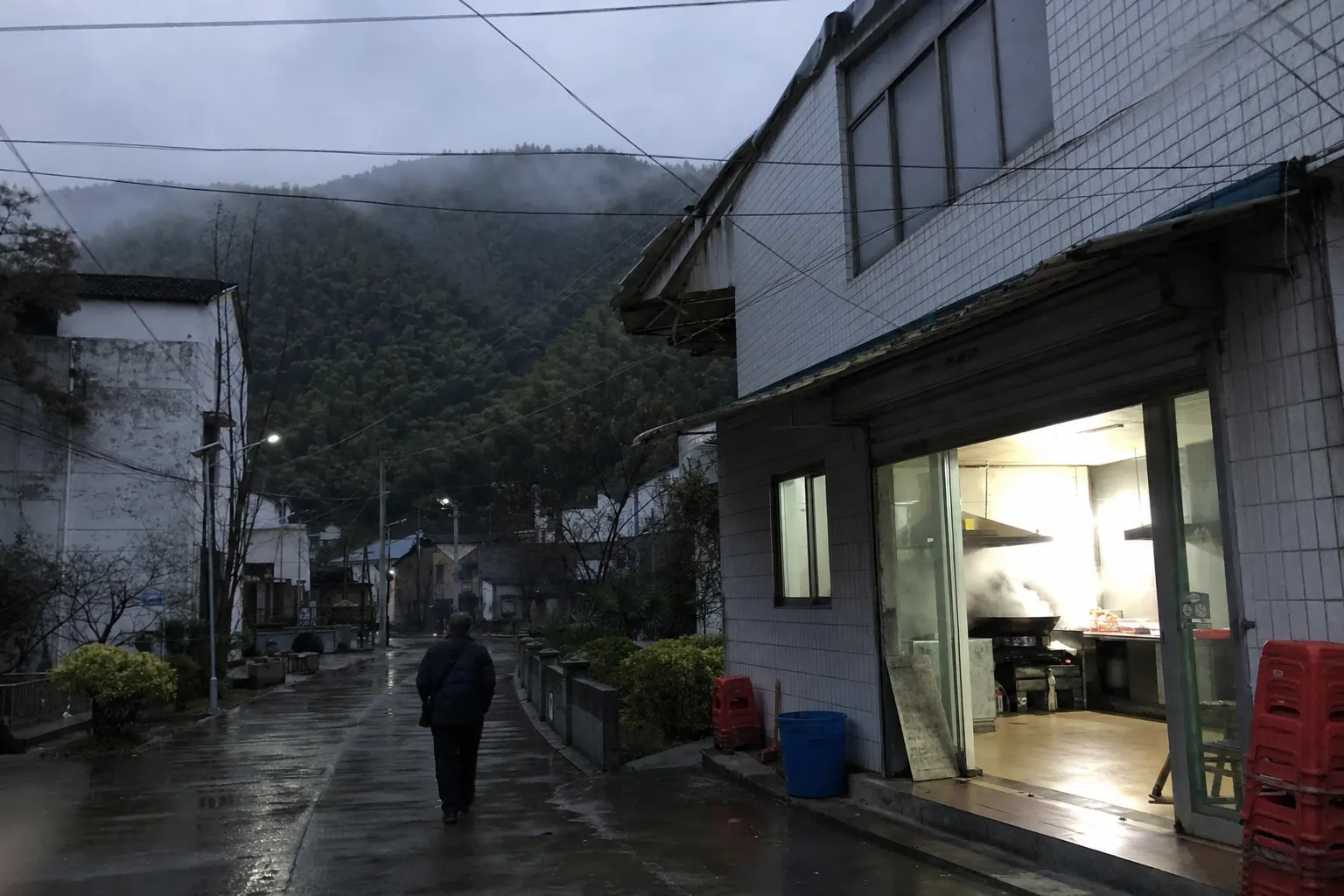
Head west. Mogaowu, the hamlet where the path proper starts, is about 500 m west of Yucun, at the end of a concrete lane past a few guesthouses. In 2020 a walking route sign stood at the lane end.
2. Mogaowu up through the bamboo (莫皋坞 to 狡猾坡 and on)
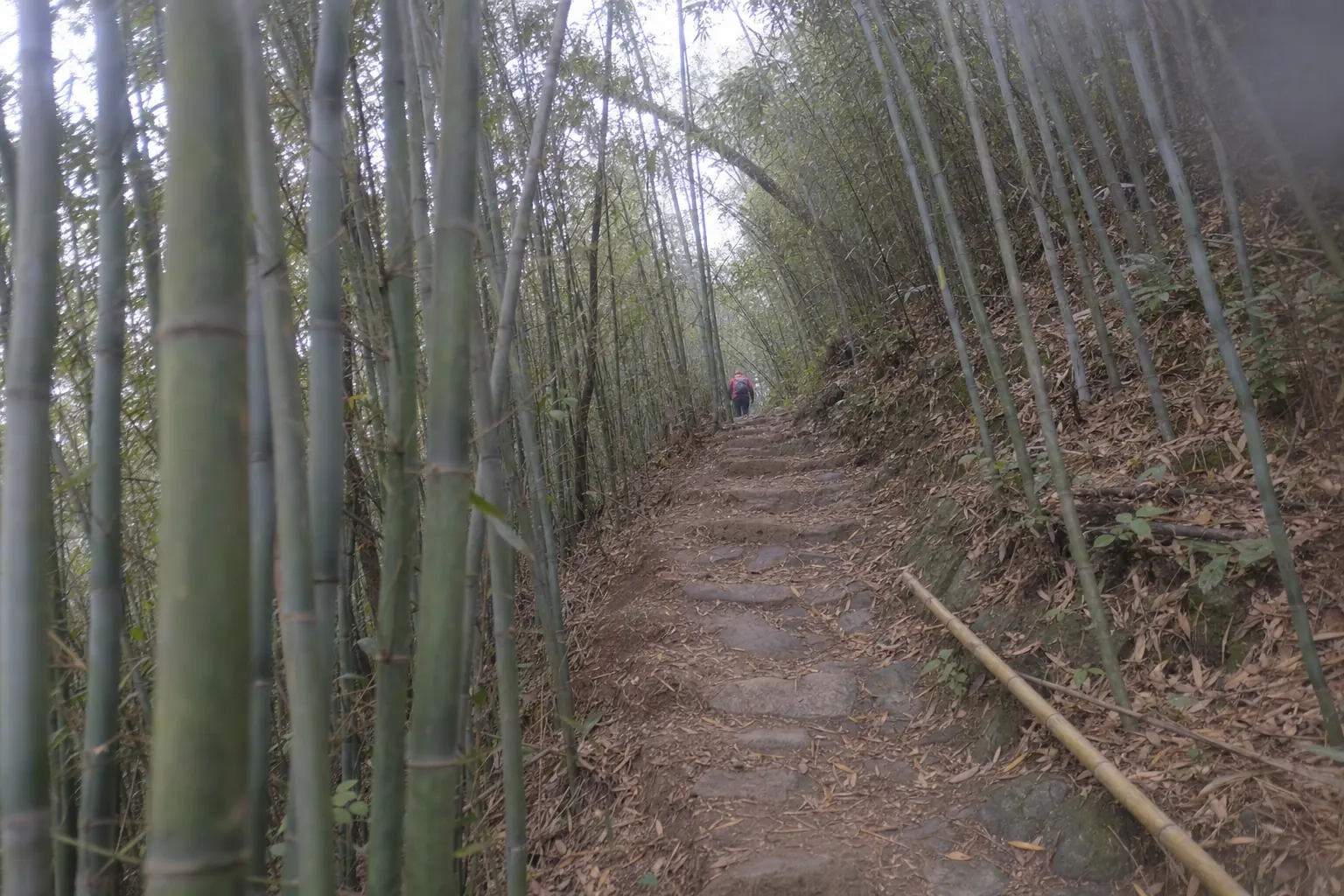
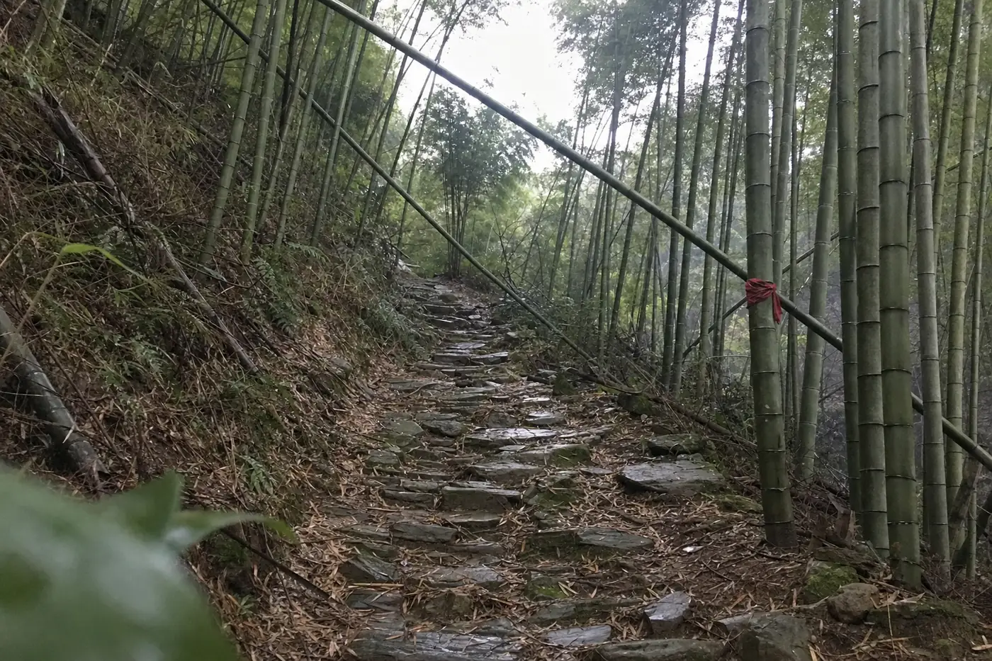
The first 2.7 km climb gently on lane, earth and steps, crossing a stream on stepping stones. The Sly Slope (狡猾坡) marks the head of the gully. On a busy day the queue starts there. Above it, from 2.7 km to 3.7 km, comes a kilometre of loose stone where you’ll use your hands. The 2020 writer reached a three way junction after about an hour of climbing from Mogaowu, where the earth gives way to crushed stone.
The first 2.7 km on road, earth and steps; 2.7 km to 3.7 km loose stone needing hands; the waterfall bridge at 3.8 km and about 430 m, Youxiake (游侠客), group leader 佩琪, October 2023, tier 3. https://bbs.youxiake.com/y/1053344.html
3. Into the scenic area at the falls (观瀑桥 to 剑池)
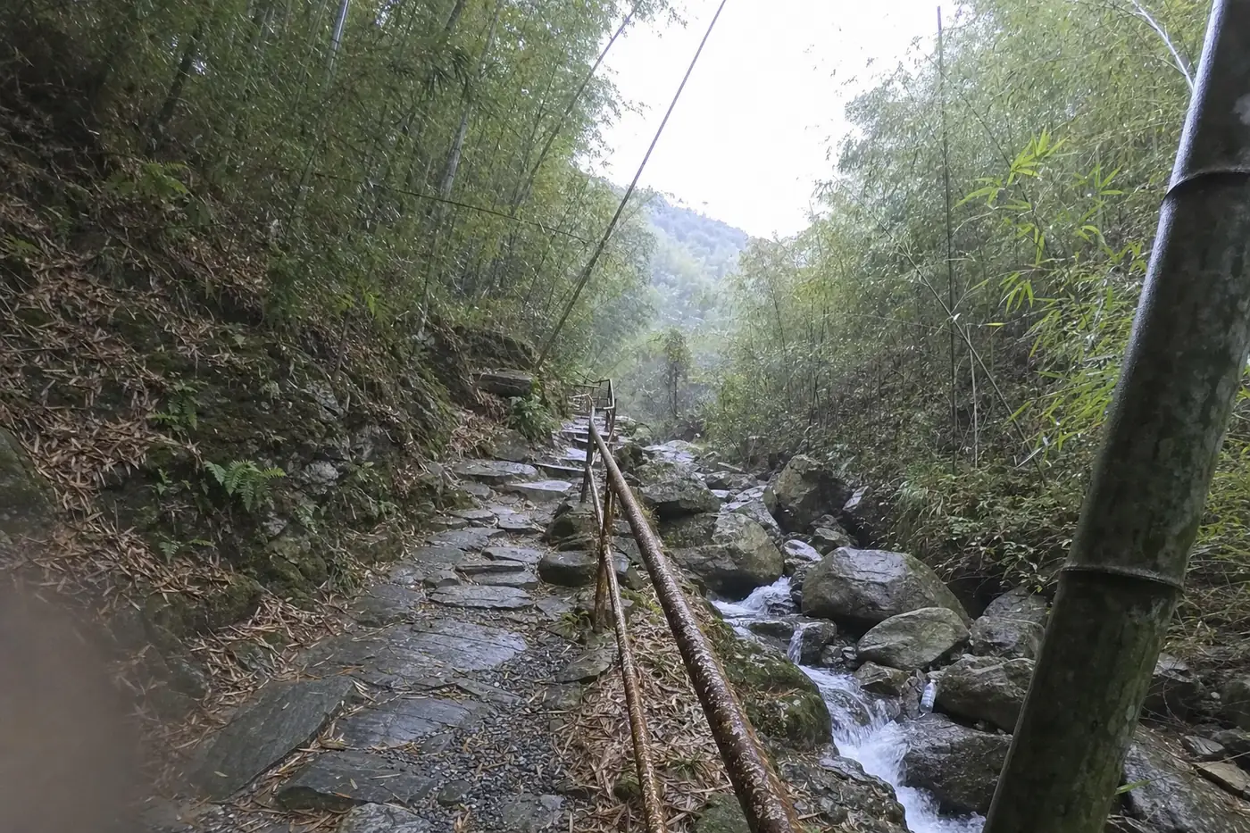
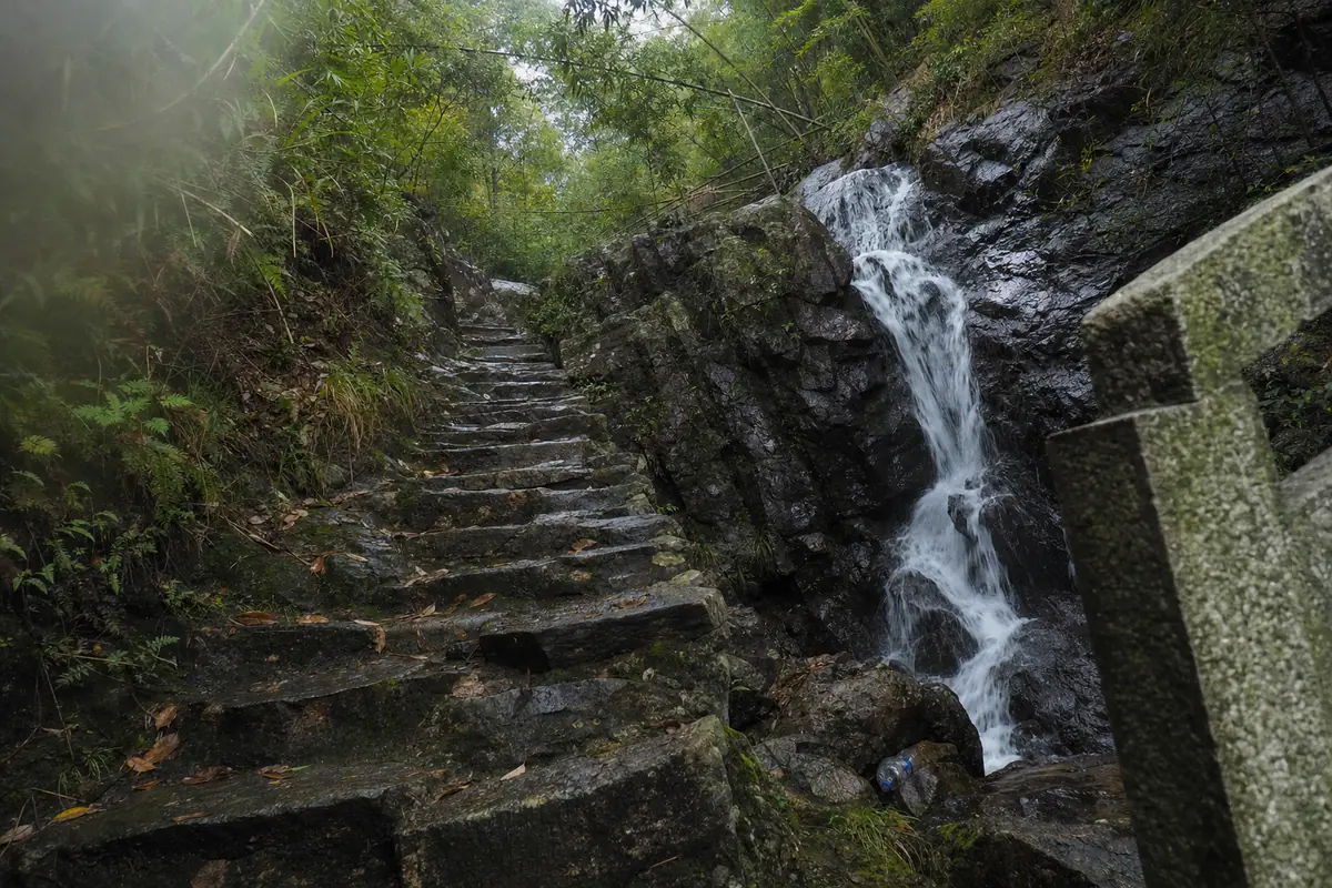
At 3.8 km you reach the Waterfall Viewing Bridge (观瀑桥), at about 430 m. The stream falling from Sword Pond (剑池) is crossed by seven bridges in the 200 m below the pond, according to the Huzhou account, and this is one of them. Around here you cross into the scenic area: the 2020 writer found a ticket office sign for walkers at the foot of the falls and a ticket booth on the path up to the pond. Our Sword Pond page covers what is at the top.
4. Up through the villas (剑池 to the old church)
From the pond the route climbs past the Old Wangwu Terrace (古望吴台) and through Luhuadang Park (芦花荡公园) to the old church (大教堂), the Assembly Hall (聚会堂) the summer residents’ association built in 1923 and later the hall of the 1984 Moganshan Conference. When you see the church, the climbing is done, at about 5 km. (If you are lost up here, ask for 大教堂.) In 2023 a shop selling water stood at 5.4 km, usually reached around 13:30 at a group’s pace.
5. Down by Baibu Ridge (百步岭 to 莫皋坞)
The descent runs over a swaying footbridge to the lookout by Naked Castle (裸心堡) at 6.9 km. The last toilet is just past it at 7.1 km. From there you drop down Baibu Ridge, the Hundred Step Ridge. One guide counts 428 steps on it, and the 2024 walker calls this descent the so called Chiang path itself: concrete steps, broken old paving and plain earth, back to the lane at Mogaowu (spelt 梅皋坞 in that log) and on to Yucun.
The descent to 梅皋坞 called the so called 蒋公道, slippery near the junction in rain, 2bulu (两步路), walker 山野见闻, 2 December 2024, tier 3. https://www.2bulu.com/community/gotohuatinfo.htm?id=1AkOj8IiqgxHrVc0IRUEyQ%3D%3D&type=1
In 2015 the county paper’s reporter went up another old line, from the fluorite mine (萤石矿) by Paotai Hill (炮台山) to Yinshan Street (荫山街), the high street at the top, in an hour and a half. The name gets attached to more than one old path.
The ticket question
Three walkers’ sources disagree about paying; the fourth gives the price.
| Source | What it says | Date | Tier |
|---|---|---|---|
| GreenTour Asia (绿色旅行网) | The loop is free and avoids the scenic area ticket | July 2026 | 3 |
| Sohu, a walking club (慈溪江湖户外) | Ticket not included; if made to pay on the way, pay yourself | November 2018 | 3 |
| NetEase, a travel writer | A walkers’ ticket booth and ticket sign near Sword Pond, both unstaffed in early winter | December 2020 | 3 |
| Huzhou Bendibao (湖州本地宝) | Adult ticket RMB 80 at the window, RMB 70 bought the day before | September 2023 | 3 |
The loop described as free and avoiding the scenic area ticket, GreenTour Asia (绿色旅行网), guide by Twilight, updated 3 July 2026, tier 3, cited as the guide’s claim. https://www.greentourasia.com/article/moganshantubugonglve
A club walk with the ticket excluded and members told to pay themselves if asked on the way, Sohu (搜狐), 慈溪江湖户外, 11 November 2018, tier 3. https://www.sohu.com/a/274670840_196816
Adult ticket RMB 80 at the window and RMB 70 bought for the next day, Huzhou Bendibao (湖州本地宝), 21 September 2023, tier 3. http://huzhou.bendibao.com/tour/2021123/3560.shtm
No county notice says walkers may enter on foot without a ticket. None says they may not, either: the county portal did not load when we checked. But two dated accounts point to a ticket point set up for walkers, and a scenic area does not build a booth for people it means to let in free. The 2018 club told members to pay on the spot if asked. No source says whether that booth takes a phone payment, so buy the ticket at the Yucun transfer centre counter before you set out. Tickets and entry has the other ways to buy and the dated record behind the RMB 80.
There’s a second reason to carry one. If your legs give out at the top, the scenic area buses run back down towards Yucun Square. In 2020 the bus desk would not sell a seat without an entry ticket.
Ticket points for walkers above Sword Pond and below the falls, and no bus seat sold without an entry ticket, NetEase (网易), travel writer 知行摄旅行, 15 December 2020, tier 3. https://www.163.com/dy/article/FTTJ9B4A0524RGKC.html
How long it takes
Every timing here is someone else’s, so read them as a range.
| Who | Stretch | Time |
|---|---|---|
| GreenTour Asia | The full loop, about 12 km, unhurried | A little over 4 hours |
| GreenTour Asia, same page | Its classic full day routes | Five to six hours |
| A 2024 GPS log, in heavy crowds | 9.8 km loop | 5 hours 28 minutes |
| A 2023 group, start to regroup | 10 km loop | About 5 to 5.5 hours |
| A 2018 club | Yucun up to Yinshan Street | About 2.5 hours |
| Deqing News, 2015 | Fluorite mine up to Yinshan Street | An hour and a half |
A 12 km route in a little over 4 hours, classic full day routes of five to six hours started before 08:00 and finished by 17:30, 428 steps on Baibu Ridge, GreenTour Asia (绿色旅行网), updated 3 July 2026, tier 3. https://www.greentourasia.com/article/moganshantubugonglve
Our reading of those figures: a fit walker on a quiet weekday should allow four hours plus stops. A mixed group, or anyone who has not walked downhill on stone for a while, should allow six. The descent is the slow part, not the climb. GreenTour Asia says leave before 08:00 and be down by 17:30.
What to carry
- Grip. Wet stone and wet earth are the hazard, as on the rest of this mountain. The walking and hiking page covers footwear.
- Poles and knee support. GreenTour Asia names the descent as the hard part and tells walkers to bring both.
- Water and food for the first half. The first shop on the 2023 route was at 5.4 km.
- A ticket, bought at the Yucun transfer centre before you start.
- The stage names in Chinese, and a charged phone. Leaders may not tie route ribbons inside the scenic area, so junctions there carry no club markers. The same 2023 leader found a phone signal inside it.
Leaders not allowed to tie route ribbons inside the scenic area, Youxiake (游侠客), group leader 佩琪, October 2023, tier 3. https://bbs.youxiake.com/y/1053344.html
When not to go
In or after heavy rain. The loose stone stretch and the final descent are the two places it bites. The 2015 county report quotes a local walking leader telling people to check the forecast and stay off the mountain in typhoon and flood weather.
With small children or unsteady walkers, unless they can scramble. The loose stone kilometre needs hands, and the 2023 leader called it a real test for beginners. A child did finish the 2024 walk.
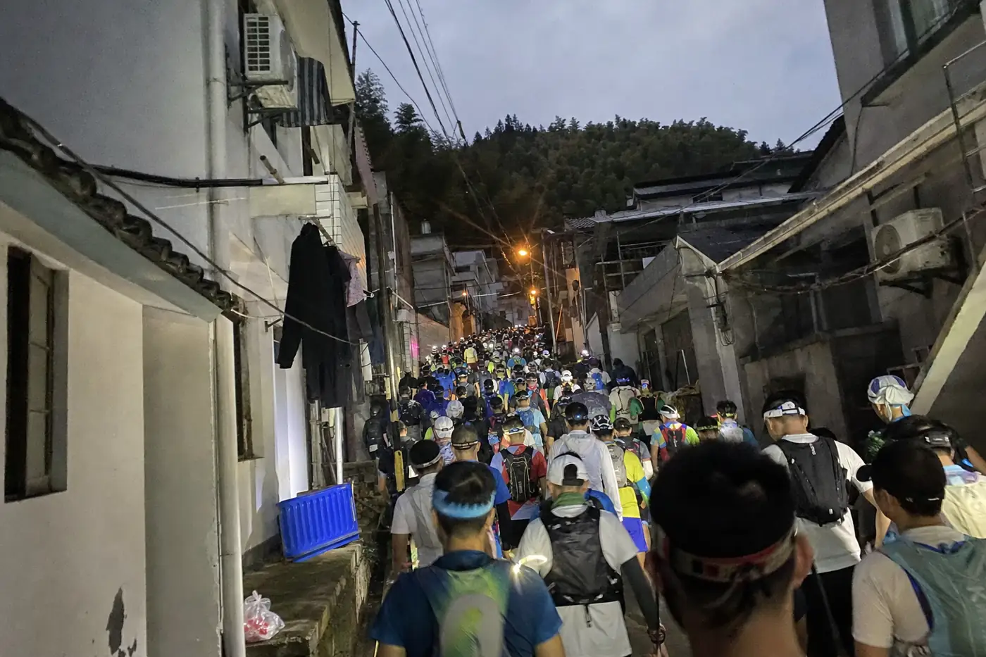
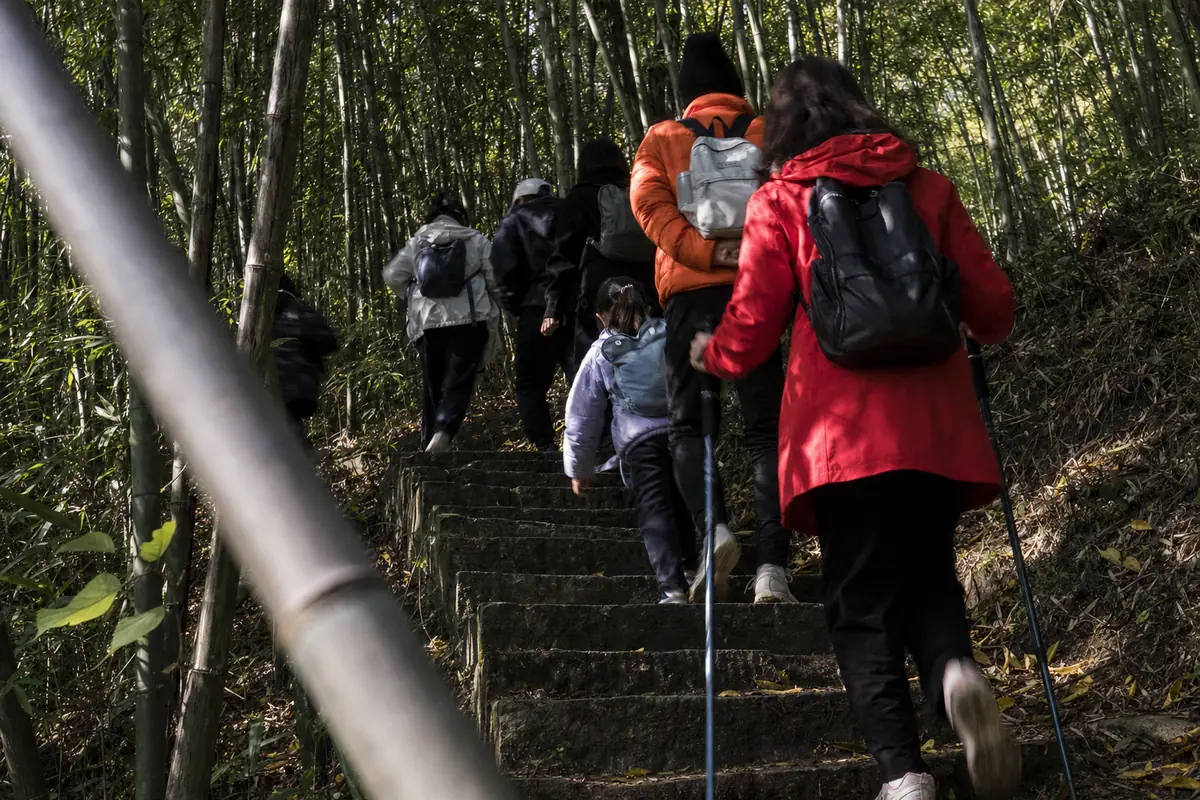
On a late autumn weekend, if you mind company. On Saturday 30 November 2024 four or five walking groups from Shanghai arrived at once, and the climb through the bamboo slowed to a few steps at a time. The red leaves piece explains why that week draws people.
Off the built path. On public holidays the county’s mounted police patrol the forest and turn walkers back from undeveloped tracks. The loop above follows a long used path, much of it stone. Unmarked shortcuts off it are what the riders stop.
The Moganshan mounted police patrolling the forest on public holidays and stopping people entering undeveloped paths, Deqing News (德清新闻网), 30 September 2026, tier 2. https://dqnews.zjol.com.cn/dqnews/system/2026/09/30/035303880.shtml
Late, if you plan to ride down. The last scenic area bus down leaves at 17:00. The full loop needs no bus, which is the point of starting from Yucun.
A last bus down at 17:00 on the Houwu board, Tide News (潮新闻), 4 December 2025, tier 2. https://tidenews.com.cn/news.html?id=3315585
Last checked 27 October 2026 by Liyan Ye. Prices, timetables and entry rules on this mountain move without notice, so confirm anything you are booking around.
Photographs on this site are representative illustrations, not documentary images of the specific building, property or service described.