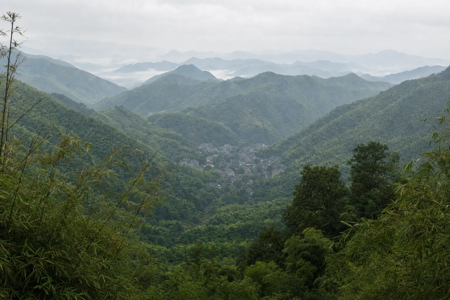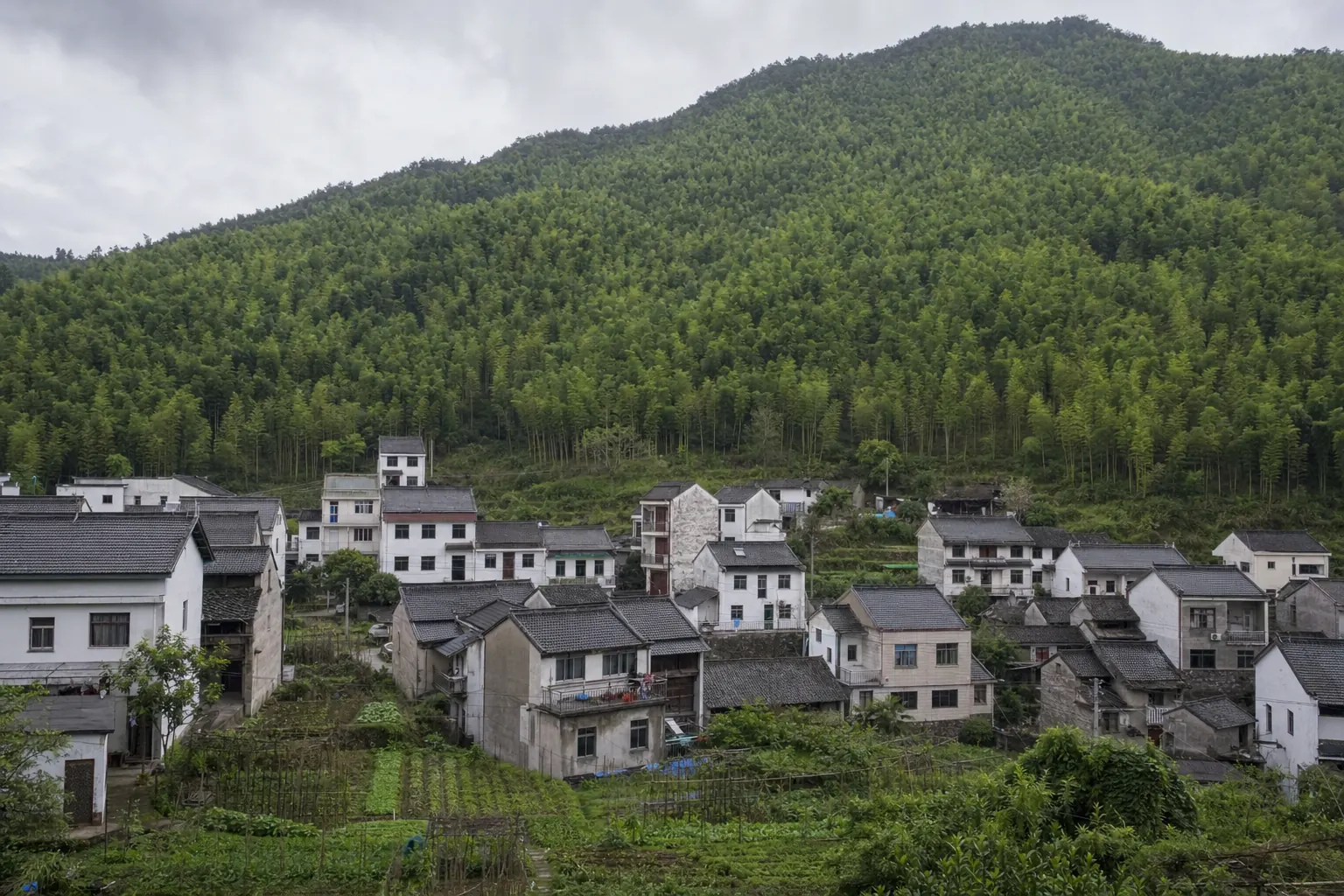
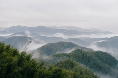
Moganshan is a mountain in Deqing County, Huzhou prefecture, Zhejiang Province, China. It stands about 60 km north of Hangzhou and 200 to 240 km from Shanghai. The main peak, Tashan, is 719 to 720 meters high.
In Chinese it is 莫干山, sometimes written Mount Mogan. On a map, start at Hangzhou and move north into the hills.
That answer is harder to find than it should be. Three other things carry the name Moganshan, and one sells tickets to the wrong town.
Which province and county Moganshan is in
Chinese addresses stack from the province down, and sites quote whichever layer suits them. All point at one mountain.
| Layer | Name | Why it matters |
|---|---|---|
| Province | Zhejiang 浙江 | Over 100,000 km². Too broad to help. |
| Prefecture | Huzhou 湖州 | Has a station, farther out. |
| County | Deqing 德清 | The layer that matters. Your station. |
| County seat | Wukang 武康 | Services town, 20 km away. |
| Town | Moganshan Town | The villages and the gateway. |
| The mountain | Moganshan 莫干山 | Core scenic area, about 20 km². |
Administrative layers, elevation and scenic-area size, BeyondBorder Group Ltd primary research, 1 to 5 August 2026.
If a booking form asks you for a city, use Huzhou or Deqing.
Most sources put Tashan at 719 to 720 meters. A few say 758. We use the lower figure. By Chinese standards, that is a hill. What brings people up is the temperature: July and August average 24.1 °C, 6 to 7 °C cooler than Shanghai and Hangzhou.
How far Moganshan is from Shanghai and Hangzhou
Almost everyone starts in one of those two cities, and neither is close.
| From | Distance | By road | By rail |
|---|---|---|---|
| Hangzhou | 60 to 63 km | about 1.5 hours | Hangzhou East to Deqing, 13 to 17 min, 16 a day |
| Shanghai | 200 to 240 km | 2 to 3 hours | Hongqiao to Deqing, 63 to 80 min, 13 direct a day |
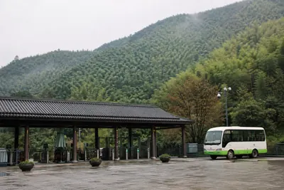
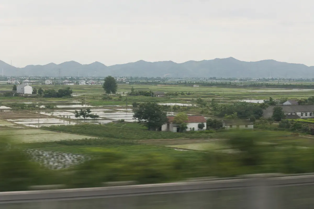
Neither is the whole trip. Rail reaches Deqing station, not the foot of the mountain: another 30 to 40 minutes of shuttle or taxi follows. The shuttle is the Y1, RMB 10, seven a day. A taxi runs about RMB 100. Private vehicles stop at the edge of the core scenic area, where you change again at one of three transfer centers: Yucun, Fatou and Houwu. Scenic-area tickets are separate from all of that, and published prices conflict, so check at booking.
Door to door is the useful figure. These are estimates, and a Friday afternoon in July runs longer than any of them.
| From | Door to door (estimate) |
|---|---|
| Central Hangzhou by car | 1h20 to 1h45 |
| Central Shanghai by car | 2h30 to 3h15 |
| Shanghai Hongqiao by rail | 2h45 to 3h30 |
| Shanghai Pudong by rail | 4h00 to 4h45 |
Door-to-door ranges, BeyondBorder Group Ltd estimates built on measured train times and road transfers, 1 to 5 August 2026.
The Pudong row is the one that surprises people. Crossing Shanghai to Hongqiao adds 50 to 70 minutes before your train even leaves.
Route detail is on the Shanghai and Hangzhou pages. The full chain is on getting here.
Three places carry this name. Only one is the mountain.
This is where the search results fall apart, so take them one at a time.
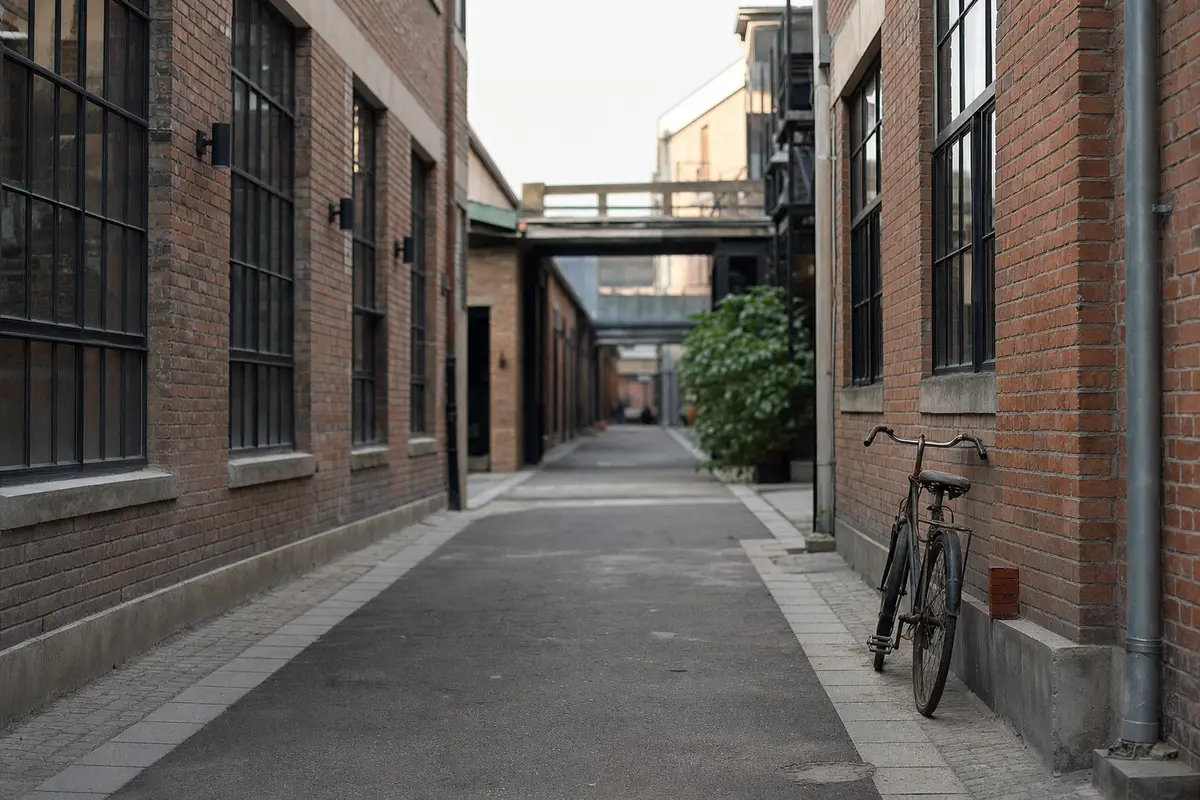
- Moganshan Road (莫干山路), Putuo District, Shanghai. The address of the M50 art district, 200 km from the mountain. Much of the English search traffic for “Moganshan” lands here, and ride-hailing apps will take the street as your destination.
- Moganshan Veneer. A plywood and veneer brand that turns up in product searches. Same name, no connection.
- Moganshan railway station. The expensive one. It sits on the Shangqiu to Hefei to Hangzhou line and serves Deqing and Wukang town, not the mountain. People book it because the name matches, then sort it out on arrival. The station you want is Deqing (德清). Write it in pinyin and characters and show it to the ticket clerk.
Name traps and station naming, BeyondBorder Group Ltd primary research, 1 to 5 August 2026.
In Chinese sources there is a fourth. Moganshan’s Yucun is 庾村, not Anji County’s 余村, the 2021 UN Tourism award winner. Different characters, different county.
Names sorted. The mountain itself is next.
What is around the mountain: bamboo and villages
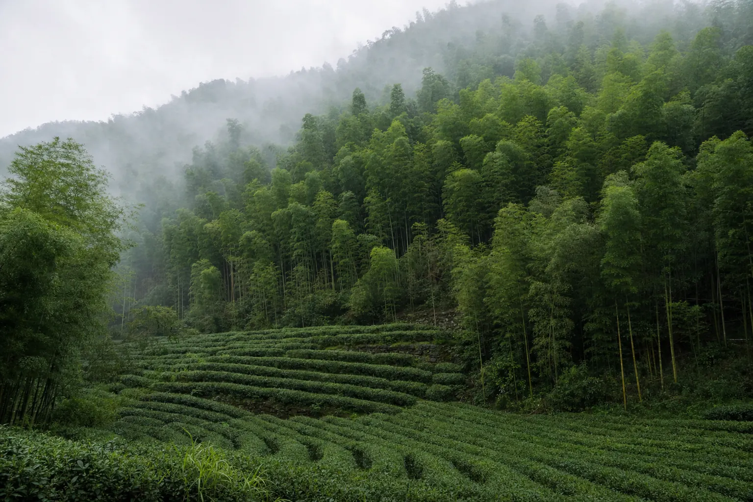
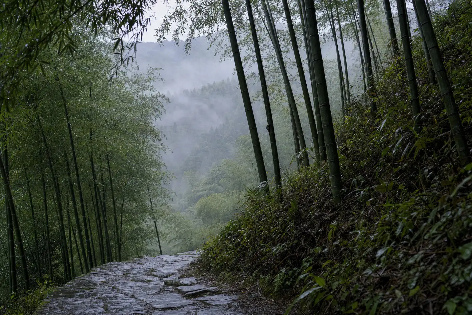
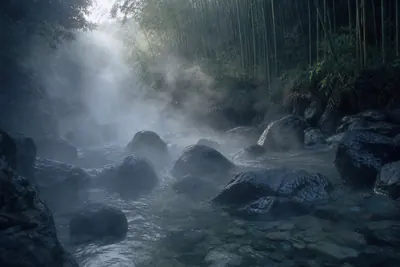
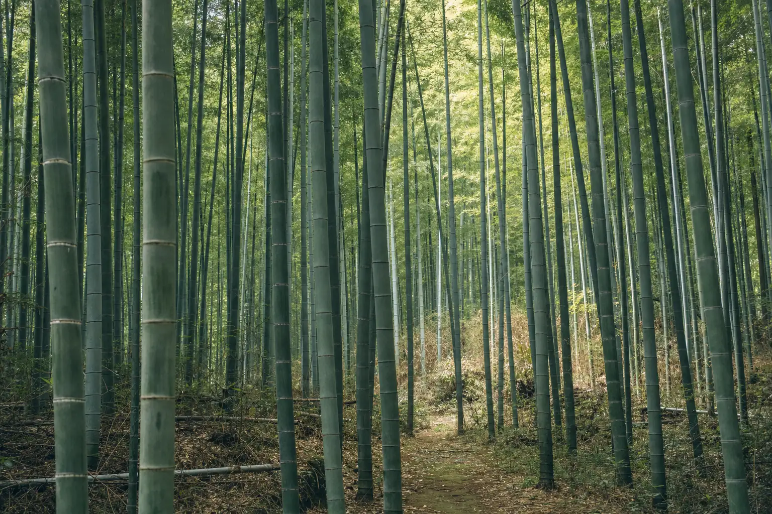
Bamboo, mostly. Forest covers more than 92 percent of the slopes, nearly all of it moso, and it is a working crop. Farmers cut poles and dig shoots on the slopes you walk on.
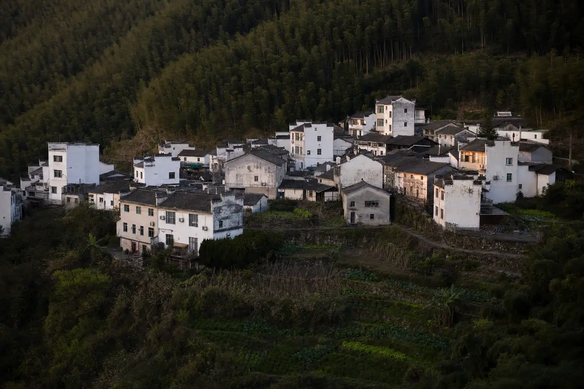
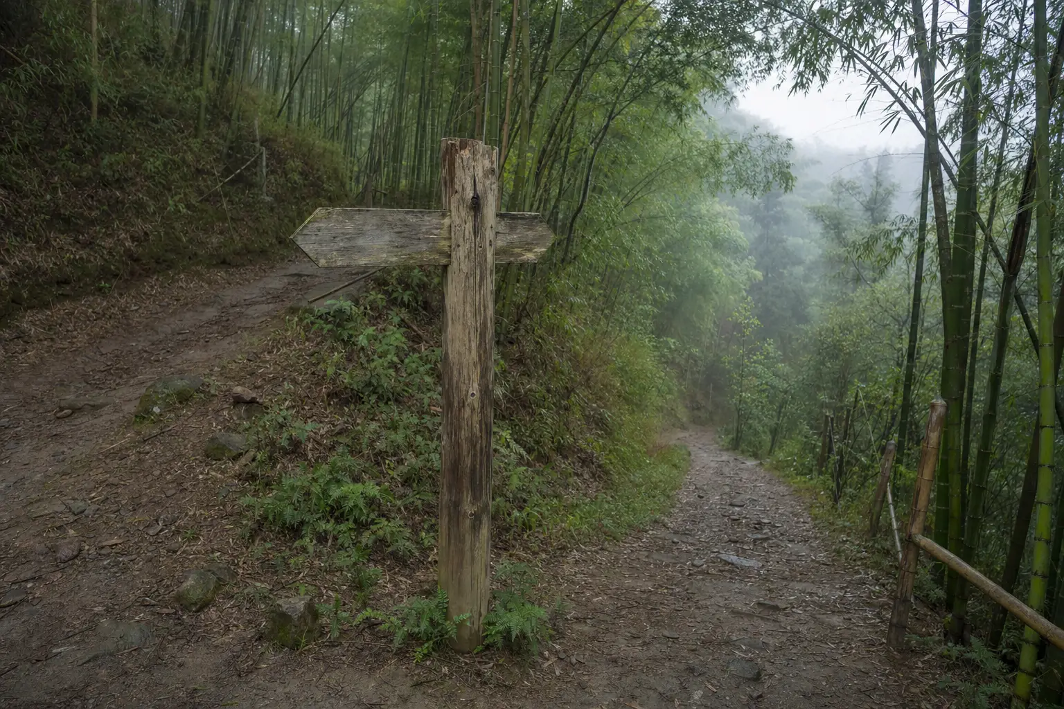
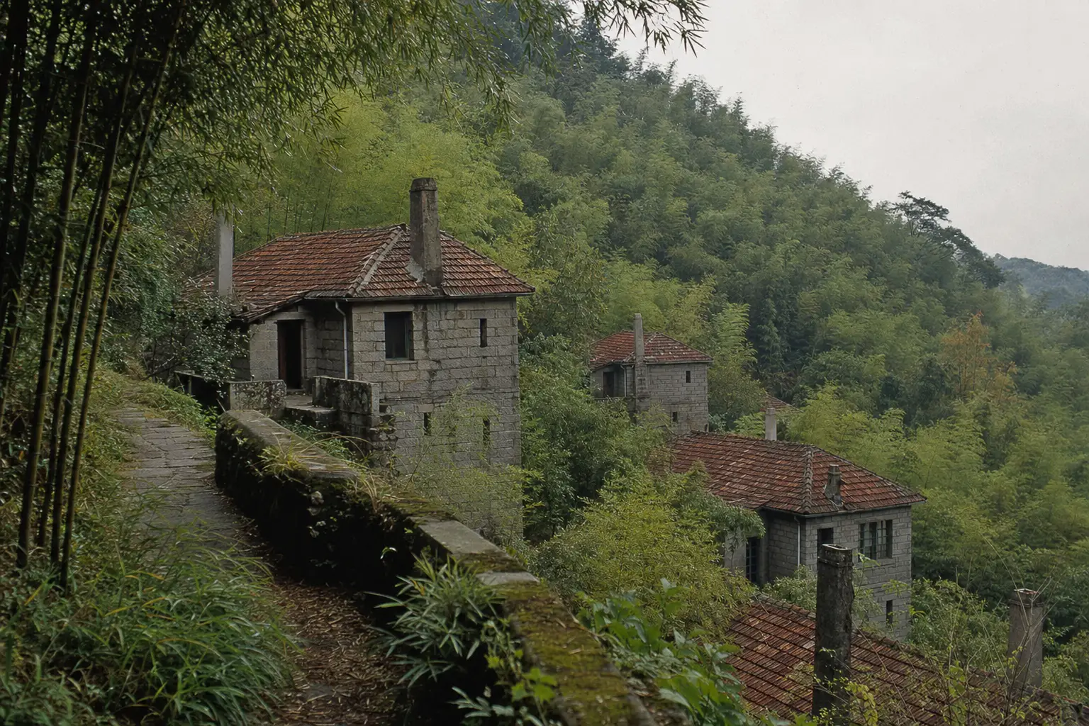
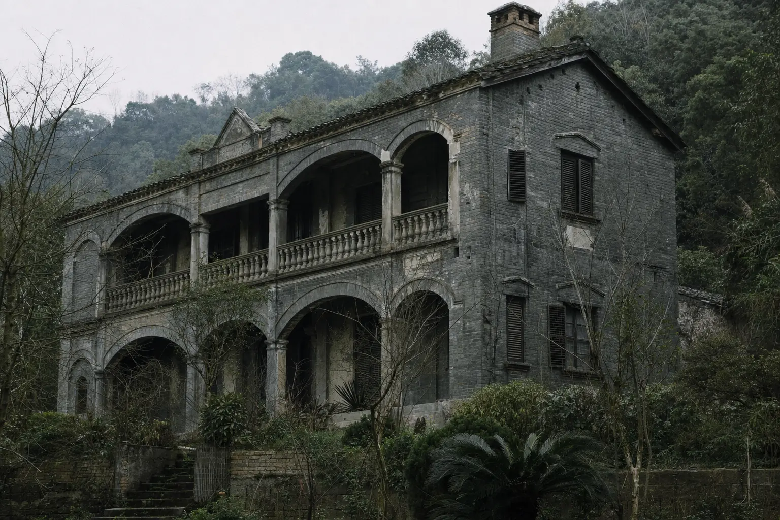
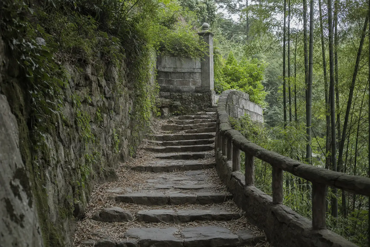
The core scenic area runs to about 20 km². It is not one summit you climb and tick off, but a wooded ridge with roads, paths, roughly 250 surviving stone villas and a few named sights like Sword Pond.
The guesthouses are not on the peak. They sit in villages around the base.
| Village | Where it is | What it is |
|---|---|---|
| Yucun | At the foot | The main hub, with the market square and the gateway |
| Xiantan | North side | The densest, about 135 guesthouses among under 2,000 residents |
| Laoling | South side | Beside a reservoir |
| Dazaowu | Outer edge | The most remote |
Which one you pick matters more than the property. The villages page takes them one at a time. For what the place is like, see what and where Moganshan is.
Last checked 7 August 2026 by Cyril Drouin. Prices, timetables and entry rules on this mountain move without notice, so confirm anything you are booking around.
Photographs on this site are representative illustrations, not documentary images of the specific building, property or service described.